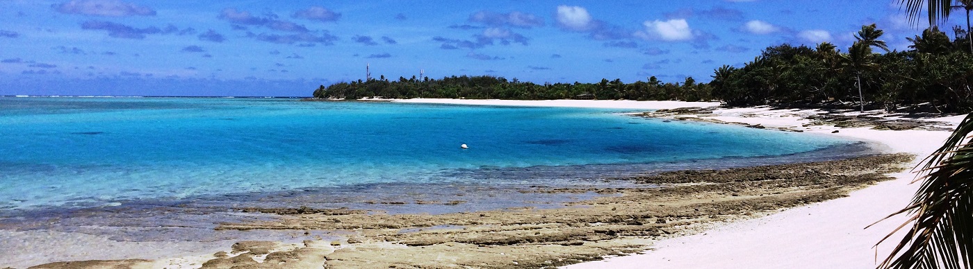


Leaving Djibouti yesterday felt like a flotilla or rally departing, given that there were five yachts that weighed anchor within minutes of each other and all enjoying a nice sail, albeit short-lived, across the bay before we turned to port to continue through the Gulf of Aden.
In the wee small hours of the morning, we transited Bab el Mandeb and entered the Red Sea en route to Port Suez. We’re expecting to stop in Suakin depending on the weather, but we’re yet to get an accurate forecast, which seems to change with every update.
What they got right this morning though, which, of course, was not forecast when we first picked our departure date, was calm, flat seas with an afternoon breeze from the north. Translated; we were motoring into the wind, waves and current for most of the afternoon.
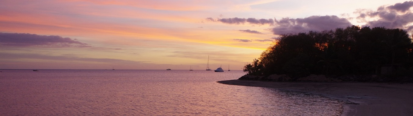
However, we did enjoy a magnificent moonless, starry night, although we woke to overcast skies. By this afternoon, though, the sun was shining again through the haze of dust.
Similar to yesterday’s blog, we also wanted to take the opportunity of mentioning the strategy we took for our passage to Djibouti, since this was not mentioned previously either.
Before making this difficult decision, we monitored the website of the UKMTO (United Kingdom Maritime Trade Organisation) for the positions of all the incidents and warnings reported in the last year and plotted these on our chartplotter. We also checked Marine Traffic and plotted the positions of the mass fishing activities to avoid fishing ships, boats, nets, pods, etc. Next, we plotted the coordinates that specified the borders of the HRA (High Risk Area). Our final plot was a rhumbline from Uligamu Island, Maldives to the IRTC (Internationally Recommended Transit Corridor), then ensured we always stayed above this line once we departed Uligamu, no matter what.
Departing Uligamu, we remained on our rhumbline for the first 150NM in order to get west of any Indian fishing activities, then kept our COG (Course Over Ground) such that we ended up 30NM east of it when we were abeam of Socotra, to ensure some extra distance from that island.
Once we entered the HRA, we changed our Yellowbrick tracker to update every hour, as apposed to our usual every three hours and 100NM southeast of Socotra Island we only put our navigation lights on at night when we could identify a vessel that would pass within 5NM of us, using only our lower navigation lights so as to reduce our visibility. If we saw radar targets that didn’t match an AIS (Automatic Identification System) signal, we altered course to give them a wide berth.
Finally, we maintained radio silence, monitored VHF channels 16 & 74 when we were in the corridor and provided daily position reports to the UKMTO and the MSCHOA (Maritime Security Centre - Horn of Africa), to whom we were very grateful for the service they offered.
Tonight we continued northwards in the company of Talulah Ruby III, Golden Spirit and Sans Peur; Kandiba was nowhere to be found on the AIS after they took off, under motor, like a bat out of hell. During our evening net on the SSB/HF radio we learnt they were some distance ahead of the rest of the fleet pounding to weather like the rest of us.


